🙏 Girls who pray together vacay together! 🙏
 |
| Trish, Linda, Lotte, Caroline, Kate, Theresa, Mb, Lulu |
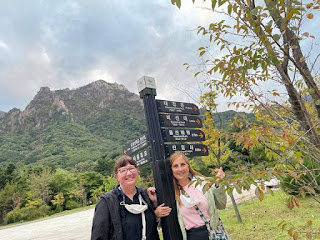
설악산 Seoraksan National Park is known for its beauty and its hiking, but the fall leaves are what most people want to see. Our bible study group decided a girls trip was necessary. It's almost as far as you can travel in SoKo in the opposite direction; we drove from the southwest corner to the northeast corner. As soon as we arrived we knew it was worth it.

Our hotel was at the base of the park so we didn't even have to drive to get there. That allowed us to play a bit on the 5-minute walk there.

The Stupas of 신흥사 Sinheungsa Temple are located at the entry to the park. A stupa is a structure containing the relics or remains of Buddhist monks.


Senheungsa Temple sits just inside the park and was first established in 652. Not only did the name change several times, but the location of the temple was also changed in 1644. During the relocation, stupas of many generations of monks were gathered here.

The inscriptions of seven of the 19 stupas are so weathered and worn down that it is unknown to whom they were dedicated.

The Asiatic black bear has been designated as one of Korean's natural monuments, but it's got nothing on this group. Seoraksan National Park, watch out!


The Reunification Stupa is located near the entrance, as well. It was erected in the hopes of peace and the reunification of the Korean nation, and for Buddha's mercy.

 Measuring at 52 feet high and weighing in at 108 tons, 톤길대불 Tongil Daebul demands your attention. It sets on the grounds just before the Sinheungsa Temple.


 |
| Lulu, Mb, Caroline, Kate, Trish, Lotte, Linda, Theresa |


Seorak Mountain is the third highest in Korea, reaching 1708 meters (5604 feet) at its highest point. (No, we did not make it to that point. Not even close.) Seoraksan translates to 'snowy peaks mountain,' because there is snow on the highest peak from late fall to spring.

The Seoraksan National Reserve encompases over 170 sqkm. Seoraksan lies in the northern part of the 태백 Taebaek Mountain Range and is considered the backbone of Korea, as it spans along the highlands at the northern border of North Korea on the east coast through several mountain ranges all the way to the Sobaek Mountain Range in the south.

The Reunification Stupa is located near the entrance, as well. It was erected in the hopes of peace and the reunification of the Korean nation, and for Buddha's mercy.

While you are nearing the base of the mountain, an
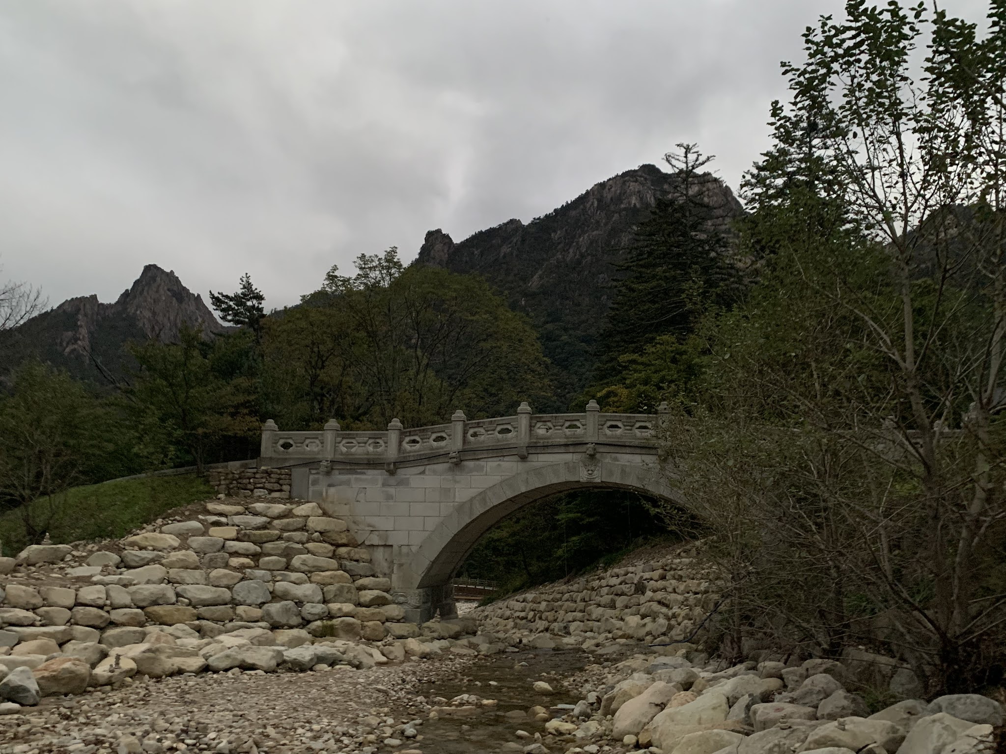
일줌인 Iljumun Gate seems randomly placed. An Iljumun gate is the first gate at the entrance to many Korean Buddhist temples. The Sinheungsa Temple is not immediately noticeable, as you need to walk a short way and cross a bridge to get there. This temple happens to be the oldest Zen temple in the world dating back to the year 653. As almost every temple in Korea, it has burned to the ground and been rebuilt over the years. It is now a head temple of the Jogye Order of Korean Buddhism.


The name Tongil Daebul means Great Unification Buddha and has become a representation of the future reunification between North and South Korea. The people of the south long for reunification and probably the people of the north do, too. Families were divided when the nations split. The people not only want their families rejoined, but they desire their nation to be whole again.


It took 11 years to build the bronze statue. The lotus base it rests on is 15 feet high, flanked with 16 engraved panels. The forehead is adorned with eight 3-inch stones of amber and a single 4-inch jade stone in the center. His legs are crossed and his hands are in the position that symbolizes 'the enlightened one.'

Inside the hollow statue are three pieces of Buddha's sari, remains of his cremation, and the Tripitaka, or original Buddhist scriptures. The cost of construction was 3.8 billion won (about $2.5 million USD).


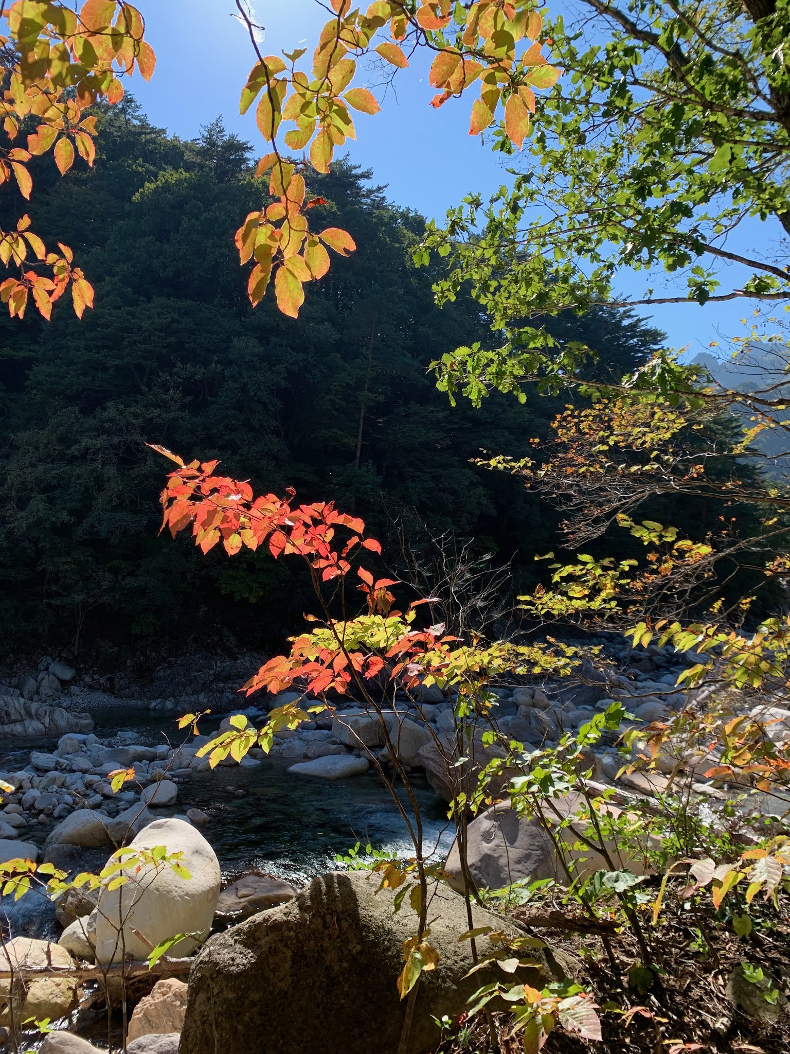
 We had looked at the prediction of peak fall leaf color when we booked our trip about a month out. Unfortunately, the leaves did not listen to the prediction. What tiny bit of color we found we photographed.


We saw a couple monks crossing the bridge on their way to the temple.


Seoraksan National Reserve encompasses an area of over 170 sqkm (almost 69 acres) with 30 peaks overall.

울산바위 Ulsanbawi Rock is one of the more famous destinations for hikers. It is very recognizable with its six granite peaks.


Our hotel was called the Kengsington, after Kensington Palace. The Royal Scepter of King Edward VII was proudly on display.


This was the view from our balcony.


And this is the parking lot outside the main gate of the mountain. Very busy even though it was early--not common for the land of the morning calm!


Lotte and I were having beary much fun.


When I see others taking selfies I feel like I am missing something important. Then I see how mine turn out and I realize I was not missing anything important.


This view is Ulsanbawi Rock to the east.

This is looking to the north.


This is the view to the south. At least that's my guess. I'm not that good with cardinal directions. I'm more of a left/right girl.


 Even though the 설악산 케이블카 Seoraksan Cable Car runs about every 15 minutes and carries 50 people at a time, it is so popular it can take 2-3 hours to wait for if you don't go in the morning. Lucky for us we had an early start.


The car carries passengers 700m above sea level to 권금성 Gwongeumseong Fortress.

A magnificant view greets you from the observation deck upon departing the cable car. You are able to see a panoramic view of the mountain range, all the way to the Sea of Japan.

The buildings to the right are the Sinheungsa Temple, while the large protruding rock to the right is Ulsanbawi Rock.

Of course there is a legend about Ulsanbawi... There is a city named Ulsan located a few hours south. When the gods were building the 금강 Geumgang Mountain of North Korea, they invited the beautiful mountains from all over Korea to become parts of Geumgangsan. Ulsanbawi started its journey to the north, unfortunately arriving too late and there was no space left. Feeling embarrassed, Ulsanbawi started walking back but the rock fell asleep at Seorak. Upon awaking, Ulsanbawi found the place too beautiful to leave and never returned to its home in the south.

From the observation deck there is a short walk to the top.


The views from the fortress site are amazing! The picture above is viewing the ocean to the east, and the view below is viewing the park to the west.


Although the area is called Gwongeumseong Fortress, there is no longer a fortress. It is now some really big rocks with some amazing vistas.


I saw a man take a picture up here and I thought it was cute. The rock itself is about four feet tall, but it was sitting on sloping rocks on one side and a drop off on the other. Want in on a little secret? I got up just fine, but when it came time to get down I thought I was going to roll on down the slope and bonk my head by falling backwards. I had to have one of the girls get behind me to catch my bottom if I started to fall backwards. It was touch and go there for a hot minute, but I made it down with no incident.

There is a story about this fortress. I would call it more of a story than a fable this time, because it think this one actually happened. During the Goryeo Dynasty in 1253 the Mongolians invaded. Two men named Gwon and Kim (also pronounced Geum in Chinese characters -- hence the name Gwongeum Fortress) took refuge on this mountain peak from the Mongolian attack. Some sources claim these two were generals and some claim it was two families. Regardless, a wall was needed up on the mountain to defend against attackers. It is claimed that Gwon and Kim built the fortress in one day; one man would bring rocks up from the river while the other built the wall.


 |
| Trish, Theresa, Caroline, Linda, Lulu |

The town of 속초 Sokcho rests between the mountain and the Sea of Japan.


This picture is for Daisy, because she likes pics like this.


When peaking out the window of the cable car you can tell it is 700m high.


This tiny little eatery at the mountain base is known for
오징어순대 ojingeo sundae (pronounced /soon-day/, and no, it is not ice cream--it is squid sausage). The casing of a squid is stuffed with tentacles, rice and herbs; it is only available in this particular region of Korea. I can't tell you how it tastes because I def did not try it.


After lunch we started an easy hike up the 천불동 Cheonbuldong Valley along the river. The water is crystal clear and there are small little water falls where the water is collected in turquoise pools. Cheonbuldong Valley is regarded as one of Korea's top 3 valleys.


The national park boasts 1,400 plant species and over 2,000 animal species, including bear, deer, antelope, flying squirrels, otters and other mammals, birds, reptiles, amphibians, insects and fish. All we encountered were a few bugs.

There are many 금강소나무 Geumgang trees, or Korean Red Pines, located on the mountain. Korean Red Pines are known for their high-quality lumber.


Look at these tiny baby trees growing out of this dead log.


This is a memorial for the unknown soldier. It commemorates the soldiers who bravely fought against the Chinese army in the battle of Seoraksan Mountain during the Korean War.


The name Cheonbuldong means 1,000 Buddhas. One site said "not much imagination is needed to see naturally formed Buddha statues in the rocks that dominate the forest." Apparently I have no imagination whatsoever, because I did not see any Buddhas in the rocks.

That moss-covered rock is huge!


How the heck did this rock get carved like this?


The girls are holding the rock up with their sticks while short little Trish is jumping to try to reach.


I love the detail added to paths in the forest. Look at this rock walk that has been laid.


❤


That's me on the left with Caroline and Mb.


Those two peaks meant we were near the end of the valley thus getting close to our destination. This is 비산대 Biseondae Peak.


Lotte and I were tree hugging.


 The beautiful blue-green pools are referred to as fairy pools.


Setting just below the peak is Biseondae Rock. The name derives from, you guessed it, a legend. This one is about a fairy who flew up into the heavens while admiring the beautiful scenery of the mountains and the valley. A translation of Biseondae is Flying Fairy Platform.

Biseondae Rock is a giant, slanting rock where the water cascades down. It is described as a 'wide rock between rugged precipices that forms a pond.'

The area around this rock inspired many painters, poets and writers over the years. Many of these artists carved inscriptions on nearby rocks. A civil official and painter named Yun Sun left his mark in Chinese writing during the late Joseon period, which was was the late 1800s.


We asked an 아춨히 ajusshi (older man) who was a park worker to take a picture of our group. He got way down low and knew the best angle to get the peak into the picture. If you want a good photo, just ask a Korean to take it for you because they know the cutest poses. It's my favorite pic of the weekend.


After being on our feet all day we refreshed them in the chilly waters of the mountain stream.


After one of the ladies said these rocks were kissing, that's all I can see.


It was necessary to stop for coffee, tea and hot chocolate once we were finished.


While sipping my hot chocolate I appreciated the sun-moon day view.


Pajama party!

 The beach at Sokcho is beautiful, even on a rainy, windy day.


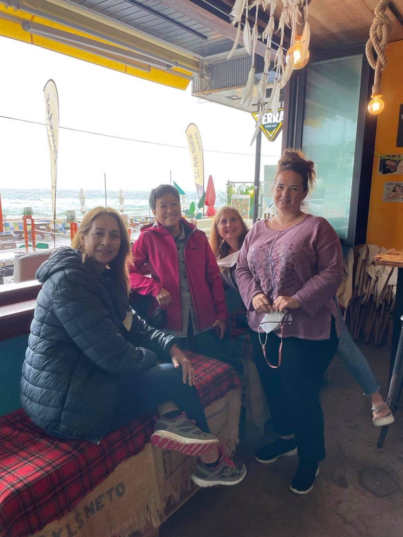
We filled our tummies to prepare for the long drive home.

What a great girls trip! I love my little bible study group.
[October 13-15]

No comments:
Post a Comment